Hanging bridges are a rare sight in my state, with only a handful scattered across the landscape. Among them stands one of the longest, quietly connecting a remote village to the outside world. Its true importance reveals itself during the monsoon months, when relentless rains swell the surrounding waters and cut off regular routes. In those days, this bridge is not just a structure of steel and cables—it becomes the lifeline that links the village to the nearest town.
Read my story (Click here) on the same to discover the location and other details.
Since this place lies far away in a high-range region, visiting it is not very common—especially during the rainy season. Yet seeing the area when the surroundings are submerged in monsoon waters had long been one of my dreams.
While returning from a long journey from a neighboring state, I knew that this particular area had been flooded with water. So I deliberately chose this route for my travel.
And now, let me take you through the story…
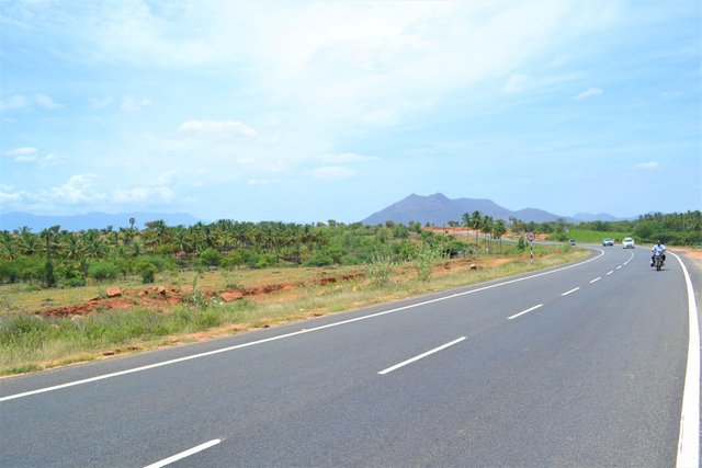
It was quite warm and sunny when I left home, and the weather stayed the same throughout the highway journey until I began approaching the high-range region.
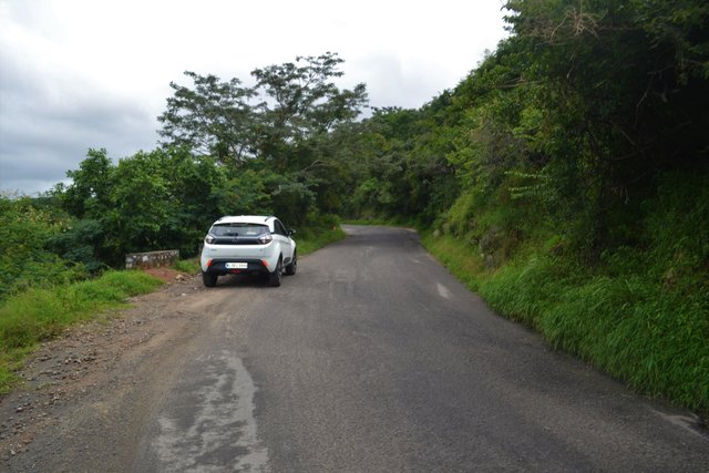
As I approached the relatively smaller mountain passage, the weather began to turn gloomy around noon, hinting at the possibility of a passing shower.
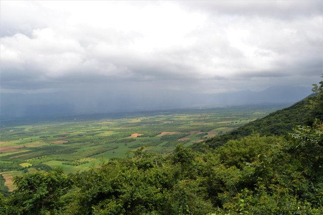
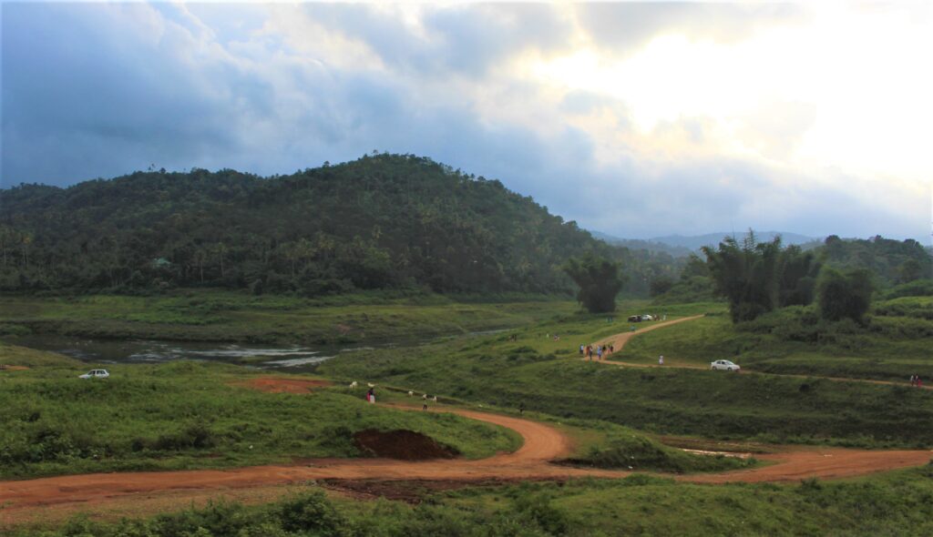
This is how the landscape looked as I crossed a small peak after negotiating two sharp hairpin curves.

The GPS display in the car showing the upcoming hairpin curves along the mountain road.
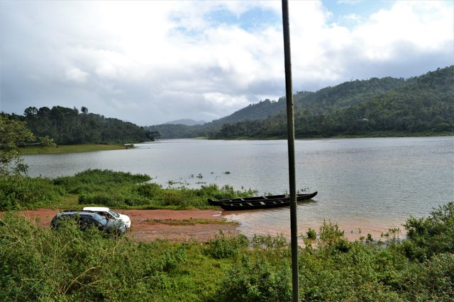
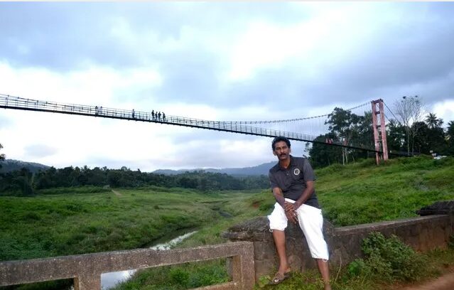
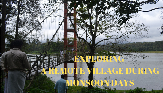
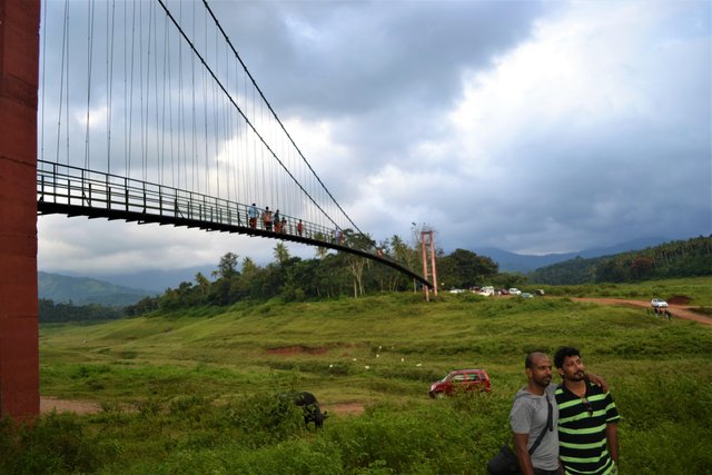
I finally reached the base of the hanging bridge, beyond which the only access was through the water body formed during the monsoon.
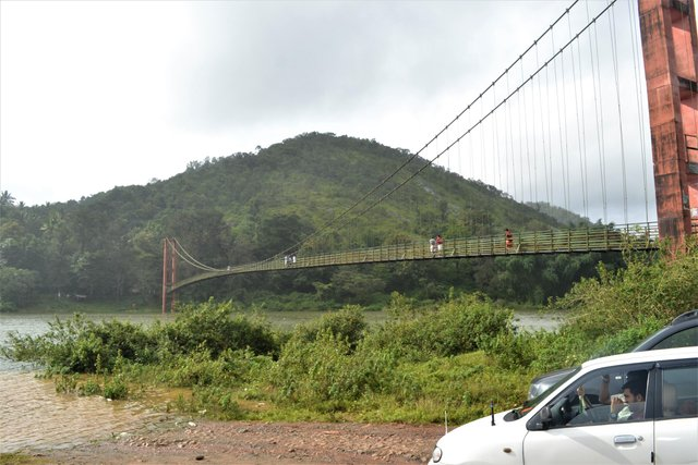
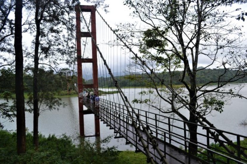
The full view of the bridge built across the Periyar River, connecting Ayyappancoil Grama Panchayath and Kanchiyar Grama Panchayath in Idukki district, Kerala. It is the longest hanging bridge in the state.
Mostly local residents were seen walking across the bridge to reach the village on the other side.
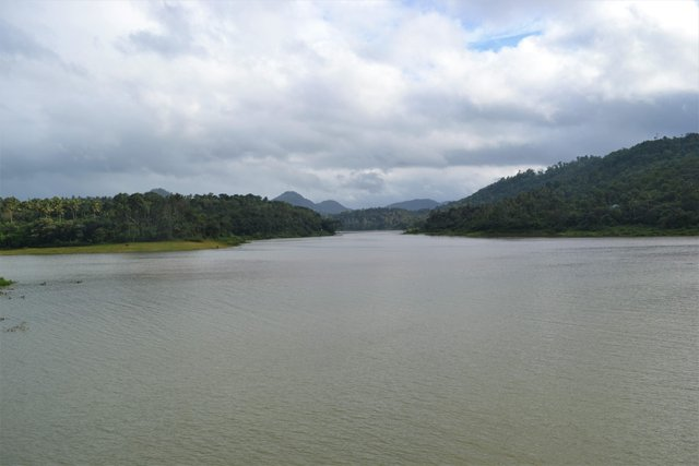
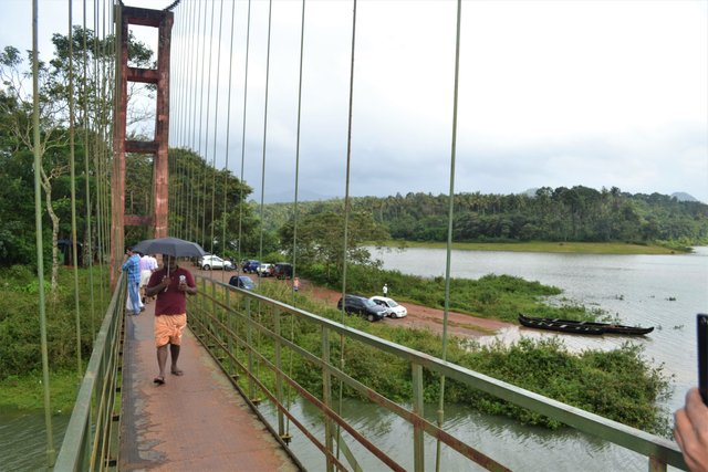
A view of the submerged area looking from the bridge
Believe me, this is the very same location seen in the photo above with the entire area covered by water, captured during an earlier visit.
For you to understand, how the area looks like on normal days, this photo was captured during an earlier trip.
I travelled to the other side through the bridge
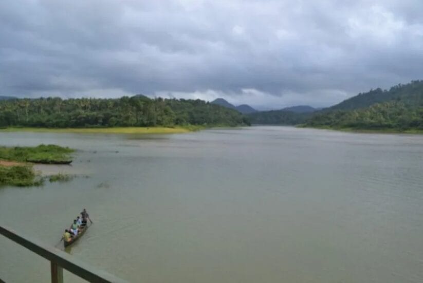
People using the boat for their day to day life to the remote areas of the village
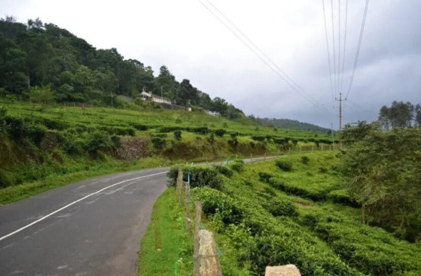
I left the place and started travelling through the hilly places where it is the tea plantation on both sides
Tea estate on the hill on one side of the road
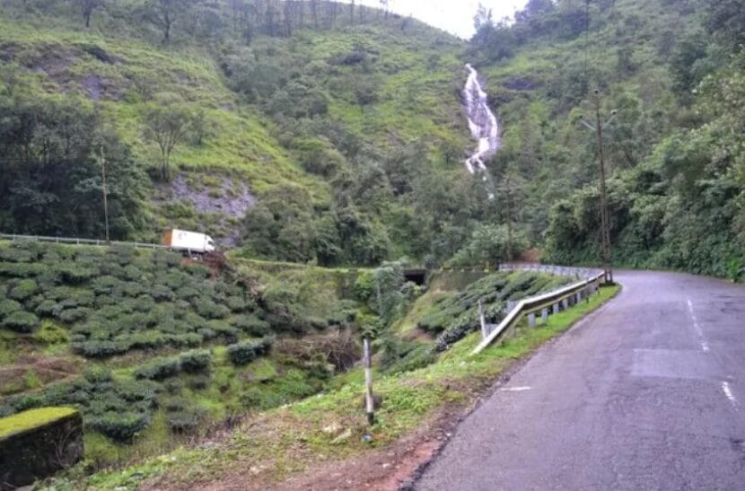
You can see waterfalls and a not-so-dangerous turning
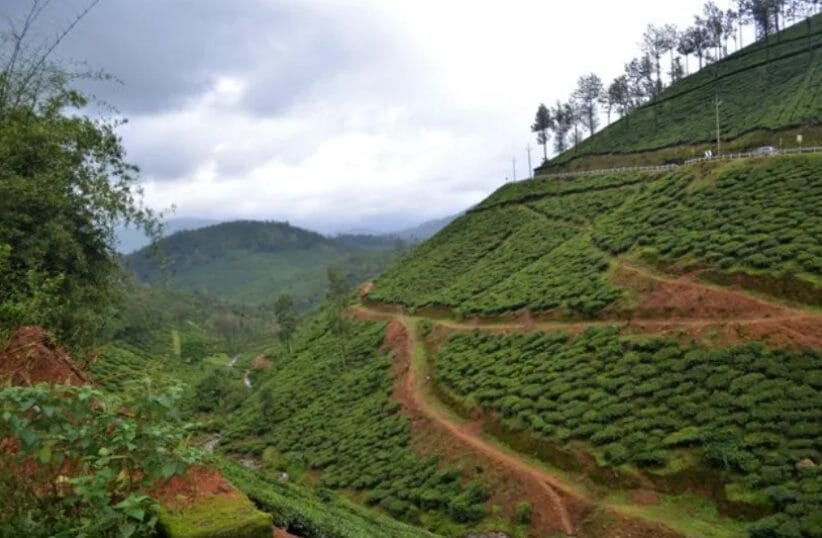
A long view of the place I need to cover for reaching home
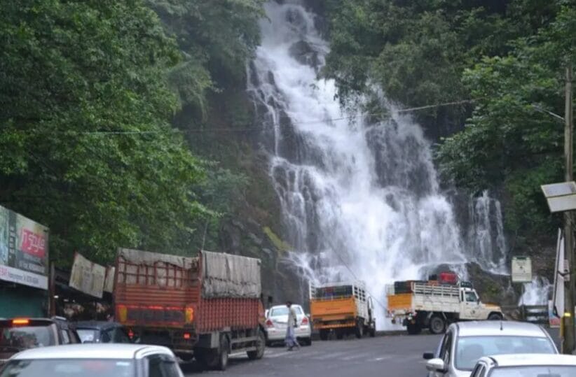
Another important hanging location is just on the side of the highway. Click here to read a short story about this place
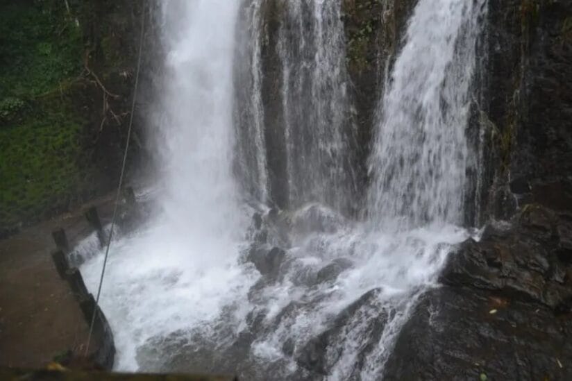
The force of water falling on the rock
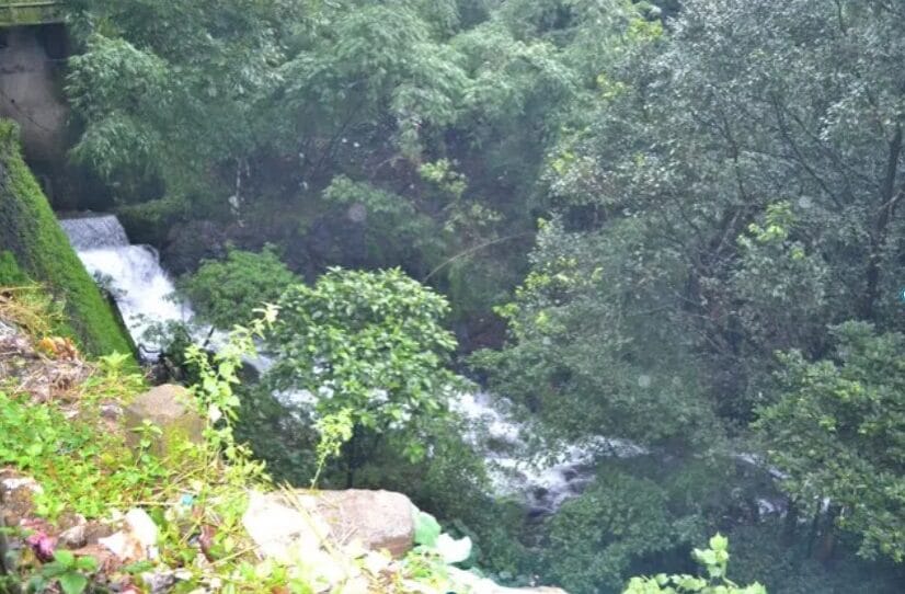
The water flows across the road that travels to the interior
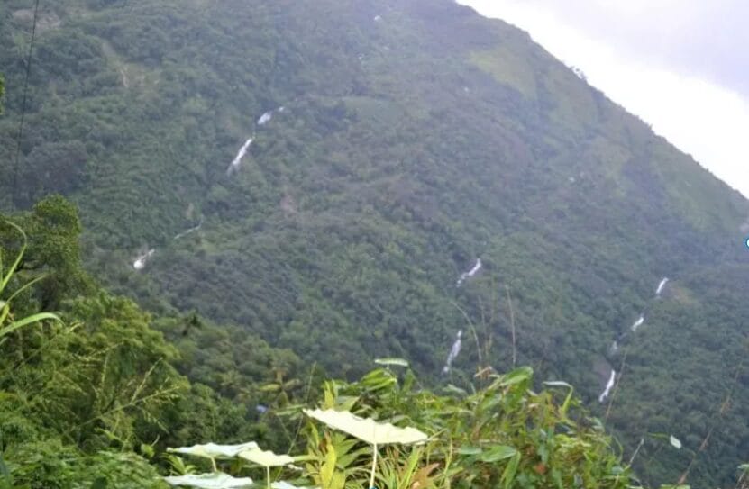
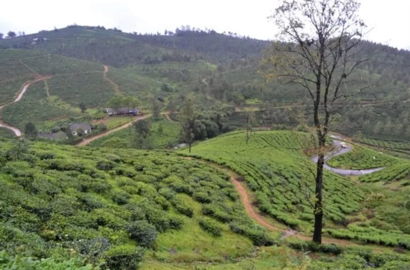
Beautiful landscape continued for a long time on my return; those white lines are waterfalls
And I continued travelling until I reached my destination.
Read the story here
Wikipedia page for this place: Click here